Grossglockner Pass and the Dolomites
Today we would leave Salzburg and head for Cortina D’Ampezzo in Italy. Our route would take us on the Grossglockner High Alpine Road, reaching an elevation of about 8,200 feet. It is the highest paved road in Austria. It is named for the Grossglockner Mountain, which is Austria’s highest mountain. It was built during the depression, providing work for some of Austria’s unemployed. The road opened in 1935. Popularity brought more tourists and the road was widened in the 1950’s. The road is generally open from May to October. During April, plows and work crews remove 21 to 28 million cubic feet of snow in preparation for the opening of the road and parking lots. It was a beautiful July day as we set out on the drive. Gradually, we gained altitude and our driver maneuvered many “hairpin” turns.
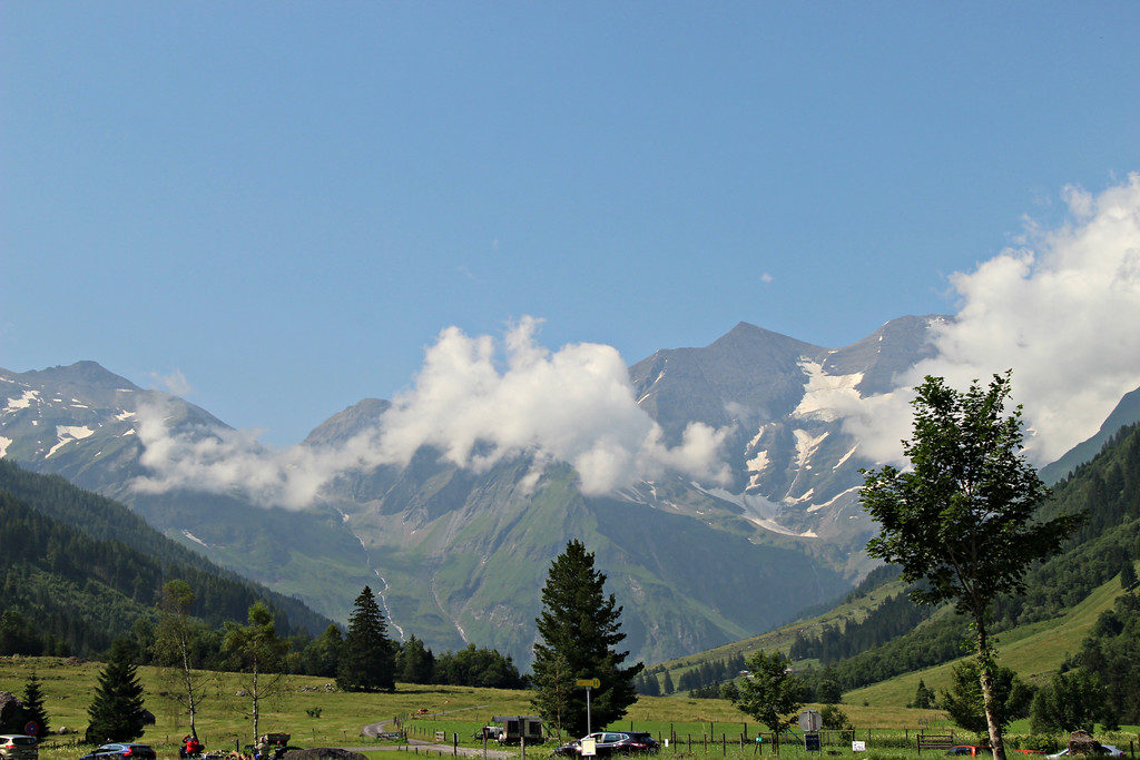
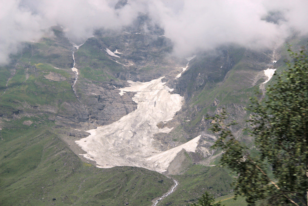
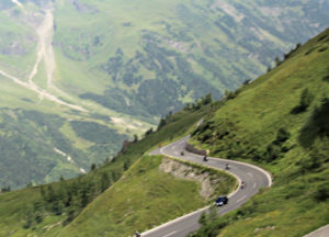
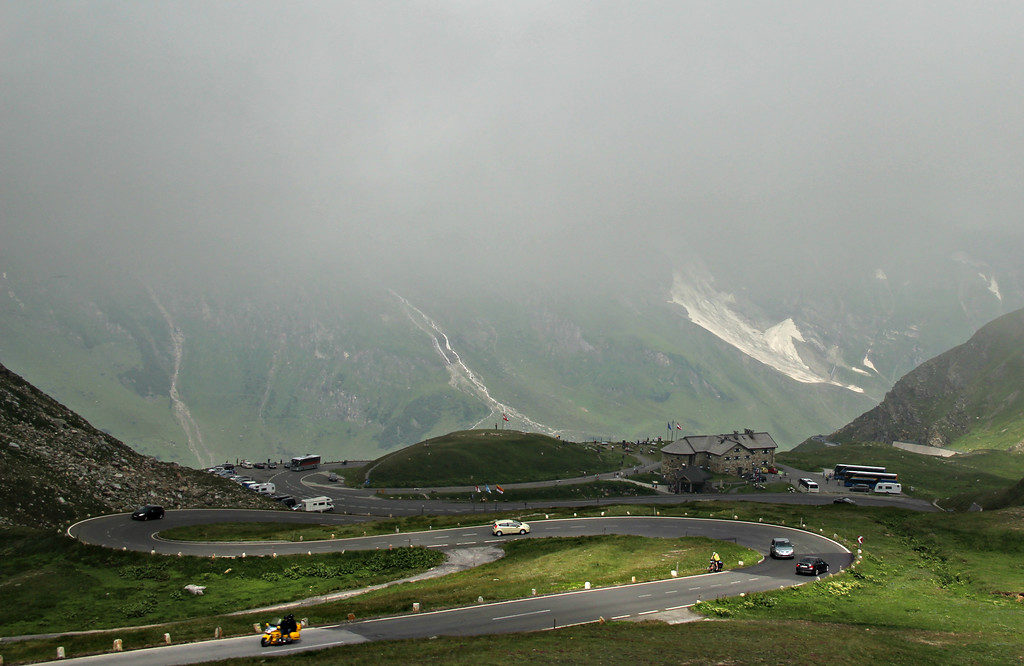
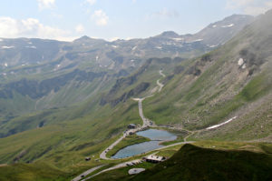
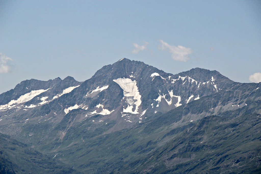
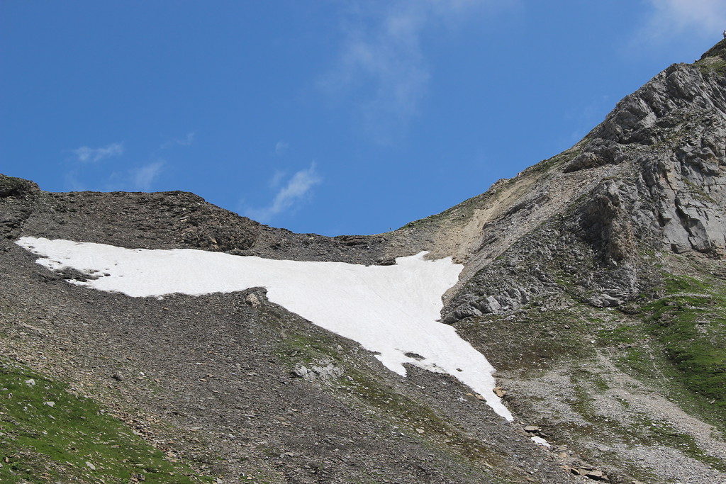
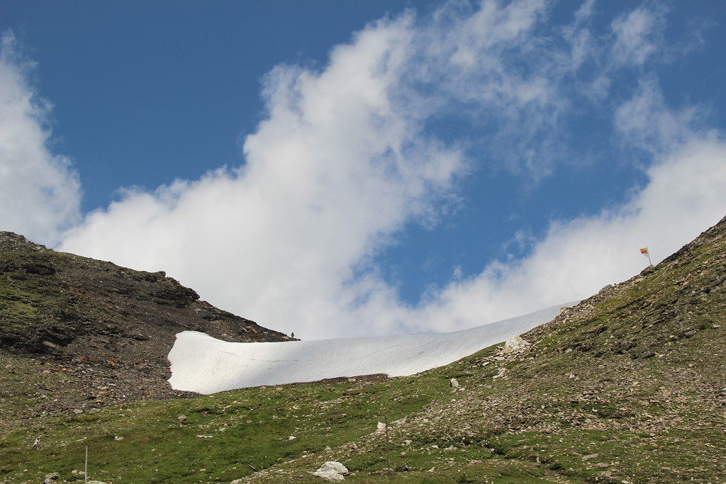
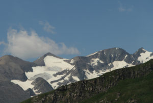
At first we had beautiful views, though with some clouds. The higher we went, the cloudier it became. We reached Kaiser-Franz-Josefs-Höhe where visitors can view the peak of the Grossglockner Mountain. We departed the bus and as we looked out, we saw mostly clouds. There was a light wind and we hoped that the wind would blow the clouds away to give us a view of the Grossglockner Mountain. We waited for several minutes and were finally able to get a glimpse of its peak (second through fourth pictures below).
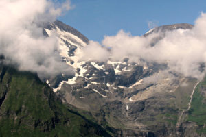
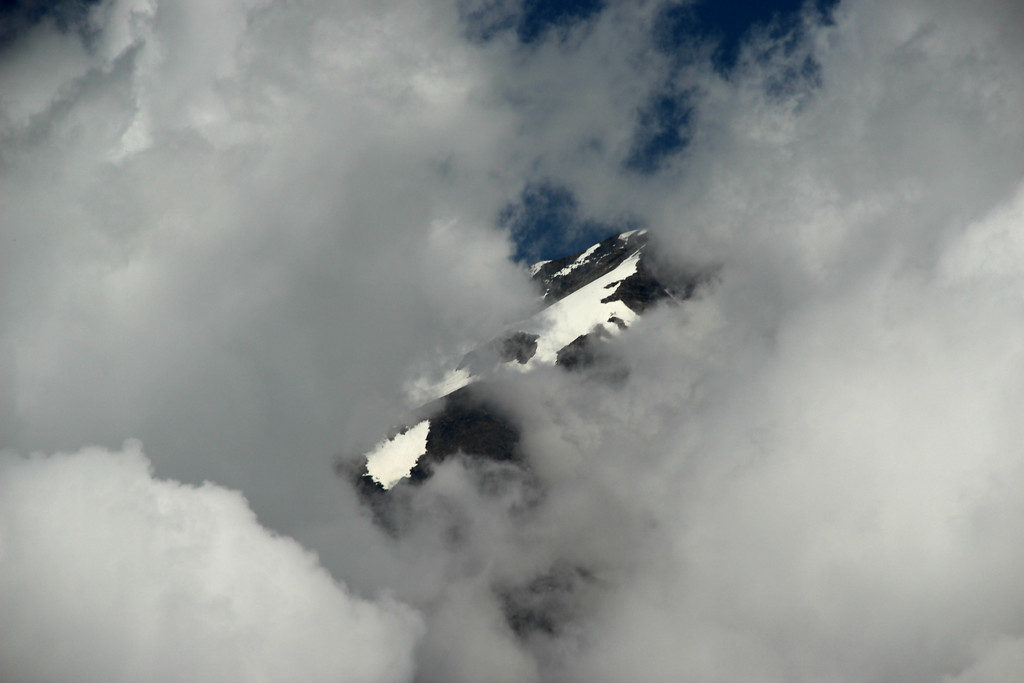
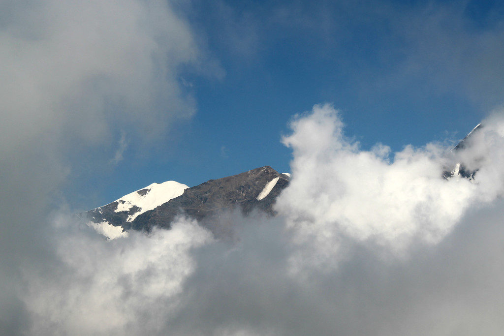
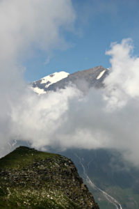
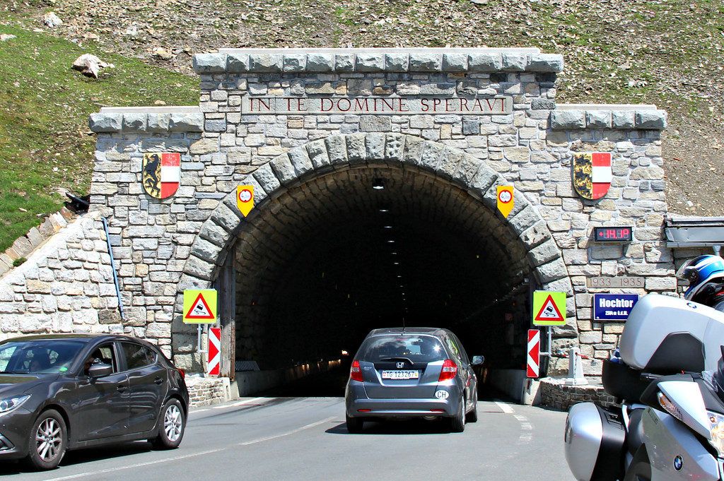
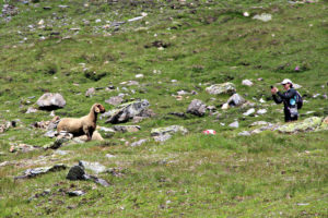
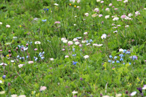
After seeing the peak, we got back into our bus and continued on. We came to a tunnel which would take us through the Hochtor Mountain, which at an elevation of approximately 7,800 feet, is the highest mountain in the Northern Limestone Alps. When we returned home, I was curious about the translation of the inscription on the tunnel. It is translated, “I put my trust in You, Lord” which seemed appropriate as we made our way through the tunnel knowing this large mountain is resting on its roof. On this part of our journey we saw glaciers, mountains, wildflowers and wildlife.
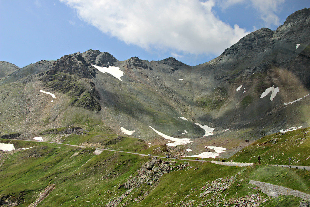
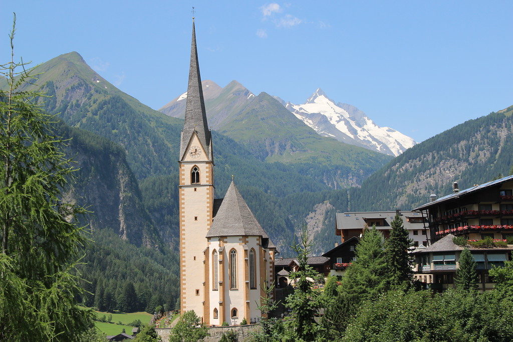
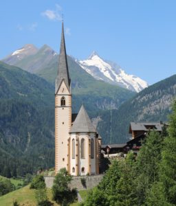
We reached the town of Heiligenblut which is set at the foot of the Grossglockner Mountain. Other mountain peaks and glaciers are also visible from the town. We stopped at a lookout which gave us a beautiful view of St. Vincent’s Church in the foreground and mountain peaks in the background.

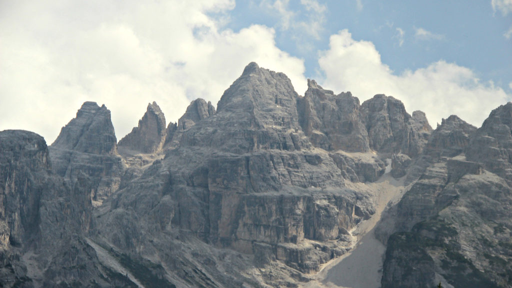
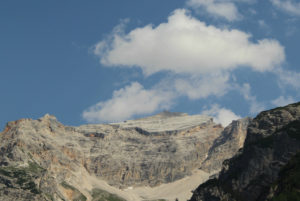
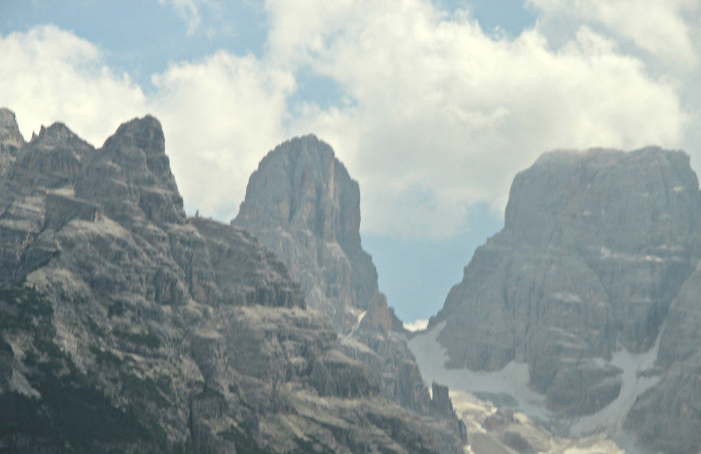
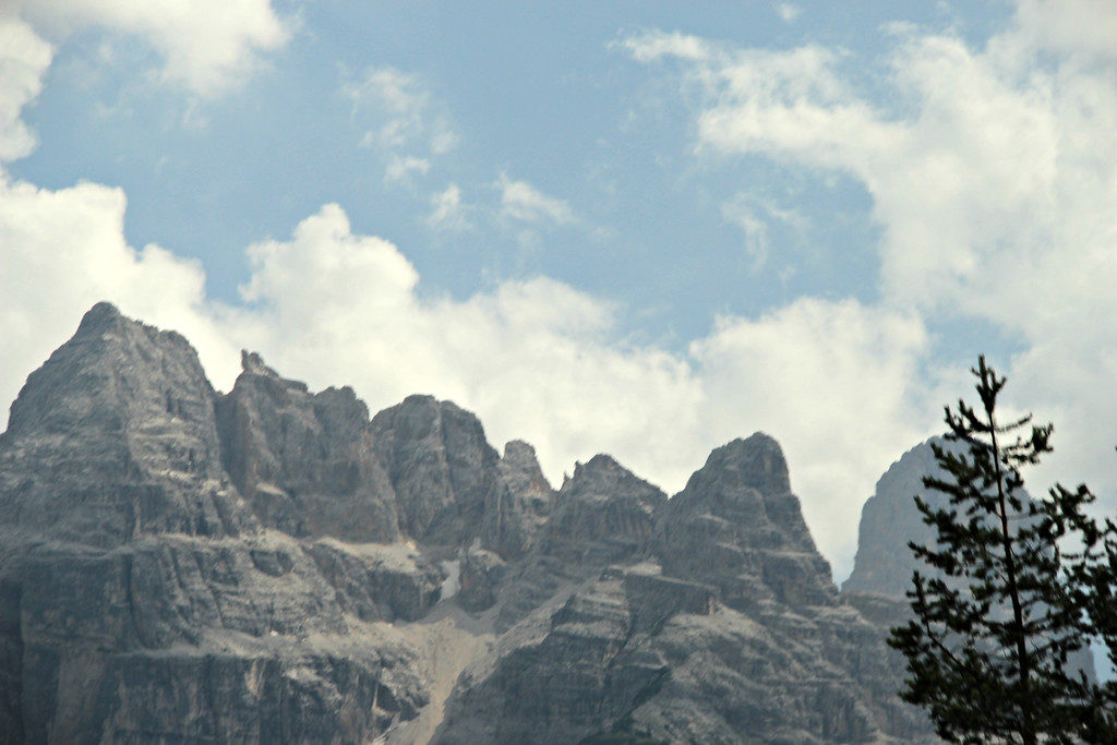
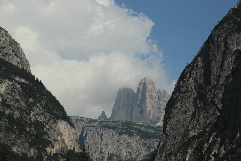
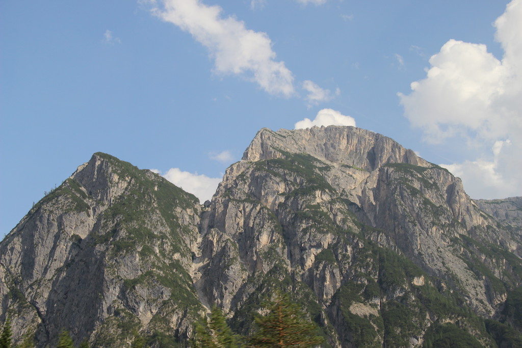
As we continued our travels, we would see the Dolomites. While the Alps were formed from the collision of tectonic plates, the Dolomites were actually “born” in the sea. In the past, the rock had been described as a different limestone because it didn’t react to acid the way typical limestone would. Another geologist would identify the rock as a new mineral and named it dolomite. The mountains, which were once referred to as the “Pale Mountains” are now called the Dolomites. Fossils reveal that the Dolomites were originally formed in the sea and were part of coral reefs – it is one of the best preserved fossil reefs in the world. These are some of the pictures we took of the Dolomites – you can see it is quite easy to differentiate between these mountains and the Alps.
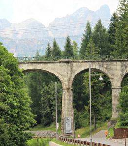
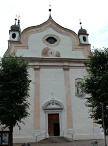
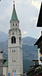
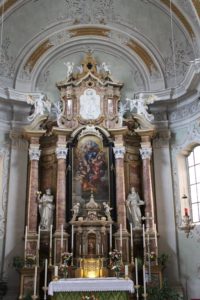
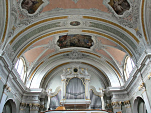
At the end of the day, we arrived in Cortina D’Ampezzo. We had a little time to explore the small town. The first picture is the remains of an aqueduct that would have once channeled water to the town. There was also a small church, Basilica Minore. The building’s exterior is very unimposing, but it does have 216 foot bell tower made of dolomia stone. The gold sphere beneath the cross on the tower was gilded in Innsbruck; the gold was obtained by melting 60 gold ducats (or coins). The building itself was built in the 1700’s and the tower in the 1800’s. The interior is beautiful- both the altar and organ are pictured below.
