Mackinac Island
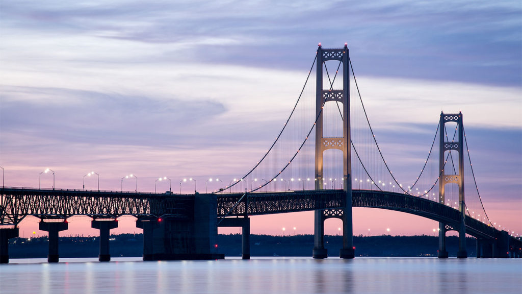
After leaving Traverse City, our ship sailed to the most northern part of Lake Michigan and crossed into Lake Huron. Our next destination would be Mackinac Island. As we sailed, we saw the Mackinac Bridge, a five-mile long suspension bridge connecting the lower and upper peninsulas of Michigan.
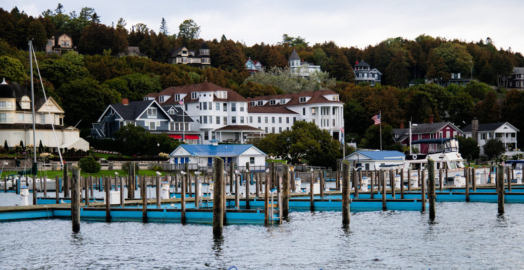
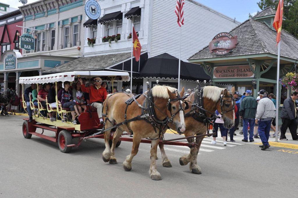
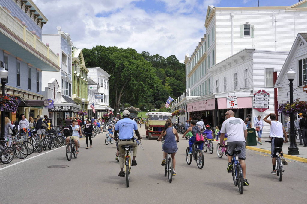
Mackinac Island is a tourist’s delight! Most of the four plus square mile island is part of Mackinac Island State Park and the entire area is a National Historic Landmark. Motorized vehicles (except emergency vehicles) are not allowed on the island so walking, horses and bicycles are the modes of transportation.
This area was originally inhabited by the Odawa before Europeans came to the area in the 17th Century. The Odawa traded furs for other goods from the Europeans. The name Mackinac came from the Native American word, “mitchinakinak,” which means big turtle, the shape of the island.
When we arrived on the island, we took a tour via a horse-drawn carriage and also walked many of the streets. Others in our group did a bicycle tour. There were large summer mansions, quaint shops – and of course Mackinac Island’s famous fudge!

Our carriage ride ended at Fort Mackinac. The Fort was established by the British during the Revolutionary War. It was originally in what is now Mackinaw City but was moved to Mackinac Island because the British thought it would be less vulnerable to attack. The United States took control of the Fort in 1796. It was recaptured by the British during the War of 1812 with the United States again resuming control at the end of the war. It remained an active fort until 1895.
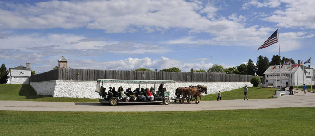
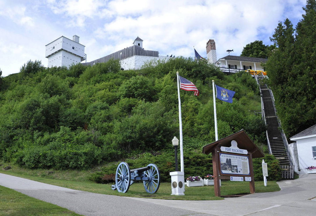
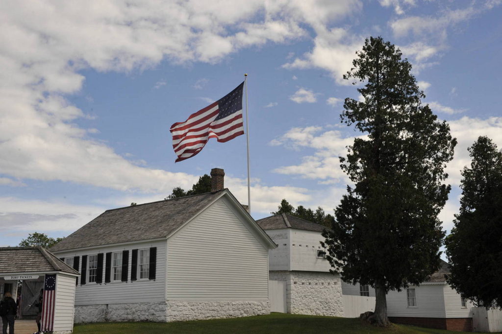
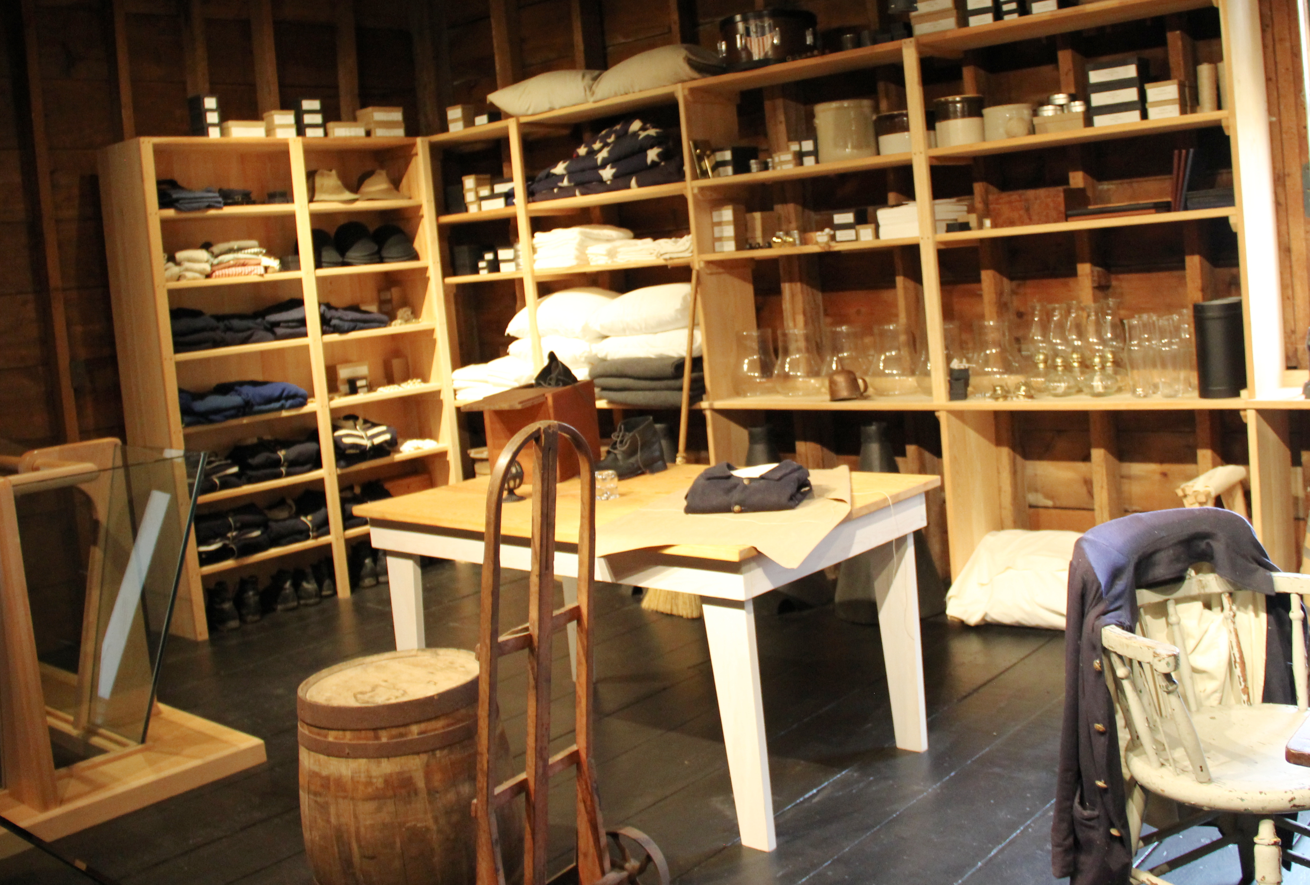
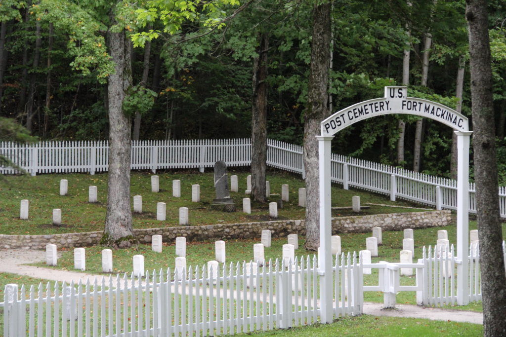
The first picture below shows a horse-drawn carriage bringing tourists to Fort Mackinac. The wall around the Fort is clearly visible in this picture. The next picture of the Fort is from the opposite side, showing how its high elevation provided additional security. The third picture was taken inside the walls and shows some of the buildings. There were barracks, offices, a hospital, a guardhouse and even a schoolhouse. The next picture is staged to look like the Quartermaster’s Department. This department was responsible for issuing uniforms, equipment and other supplies to the soldiers. Finally, the Fort’s Post Cemetery is pictured.
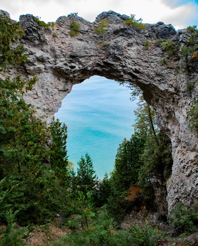
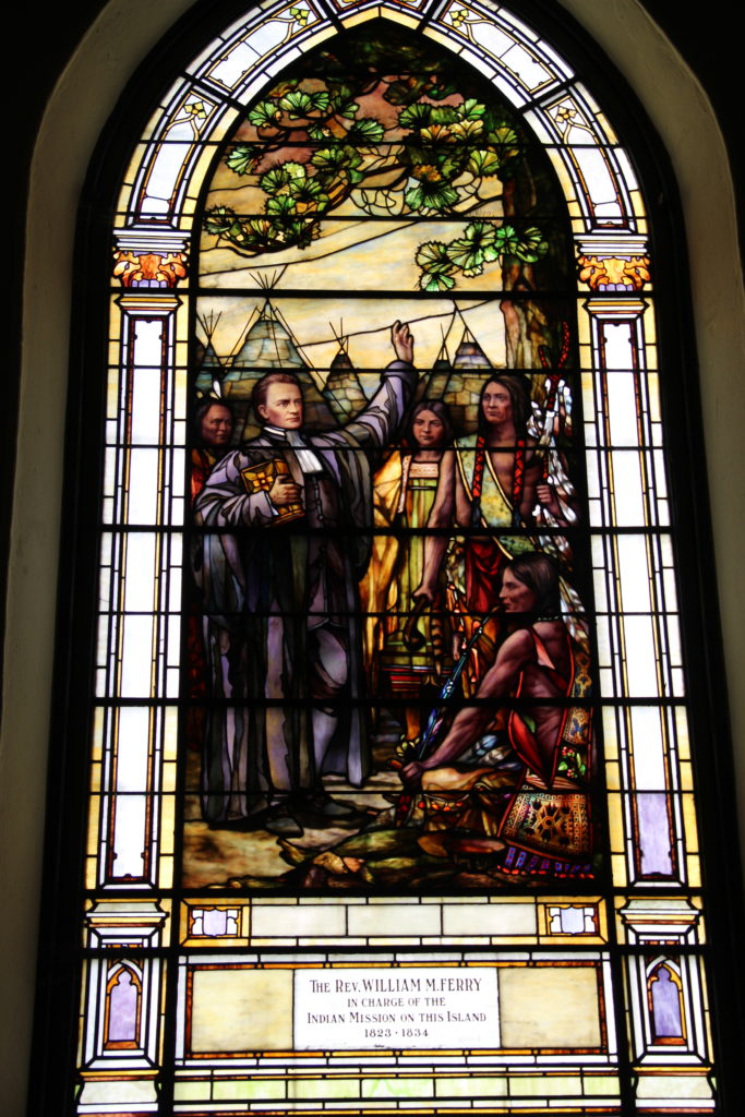
Some additional pictures follow. The first is one is of Mackinac Island taken from the high point of Fort Mackinac. The next picture is one of the forest areas we saw during our horse-drawn carriage ride. The third picture is a geological formation known as Arch Rock. The rock was once a solid mass. About 4,000 years ago, lake water dissolved the softer center of the rock and water eroded the base. This left the breccia limestone arch. The final picture in this section is a stained glass window in the Little Stone Church. The stained glass windows were installed in 1914 and tell the story of the Protestant movement on Mackinac Island.


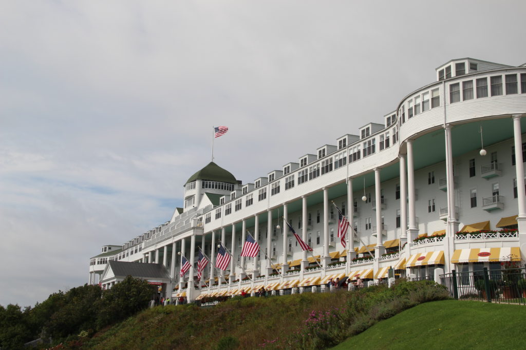
We had a lunch buffet at the Grand Hotel. The Grand Hotel has an interesting history. Mackinac Island became a vacation destination but had few overnight amenities for guests. So in 1886…
The Michigan Central Railroad, Grand Rapids and Indiana Railroad, and Detroit and Cleveland Steamship Navigation Company form the Mackinac Island Hotel Company. The land upon which Grand Hotel will stand is purchased, and hotel construction begins.
https://www.grandhotel.com/our-story/grand-hotel/timeline/
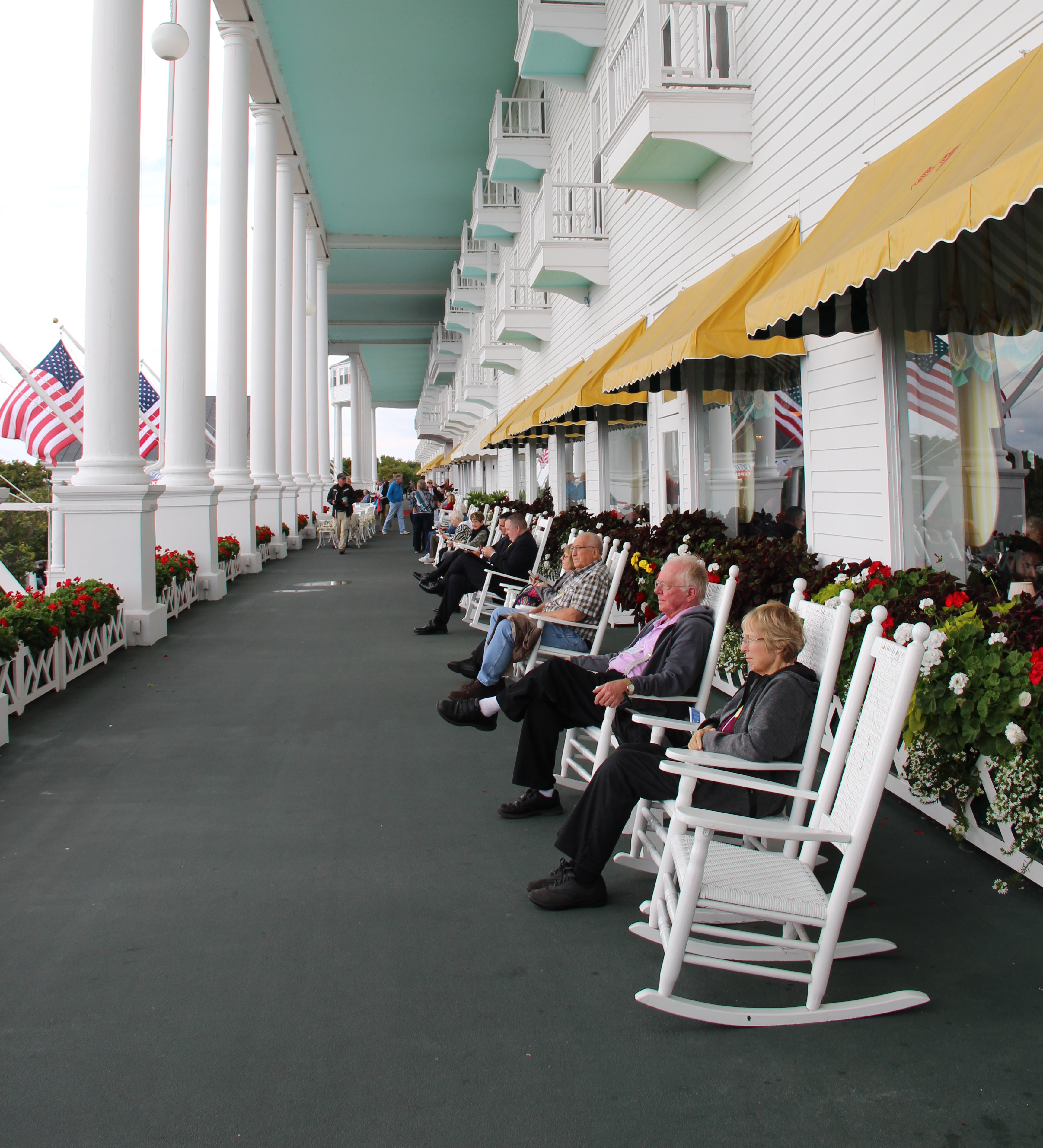
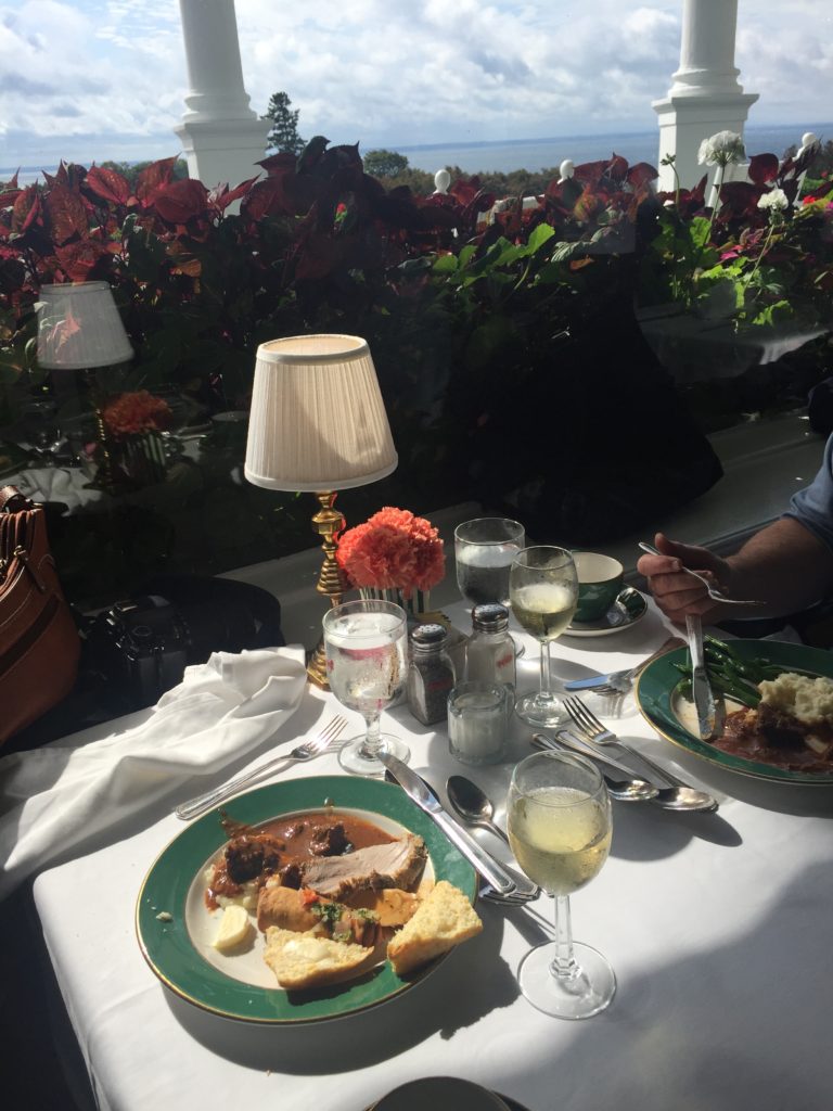
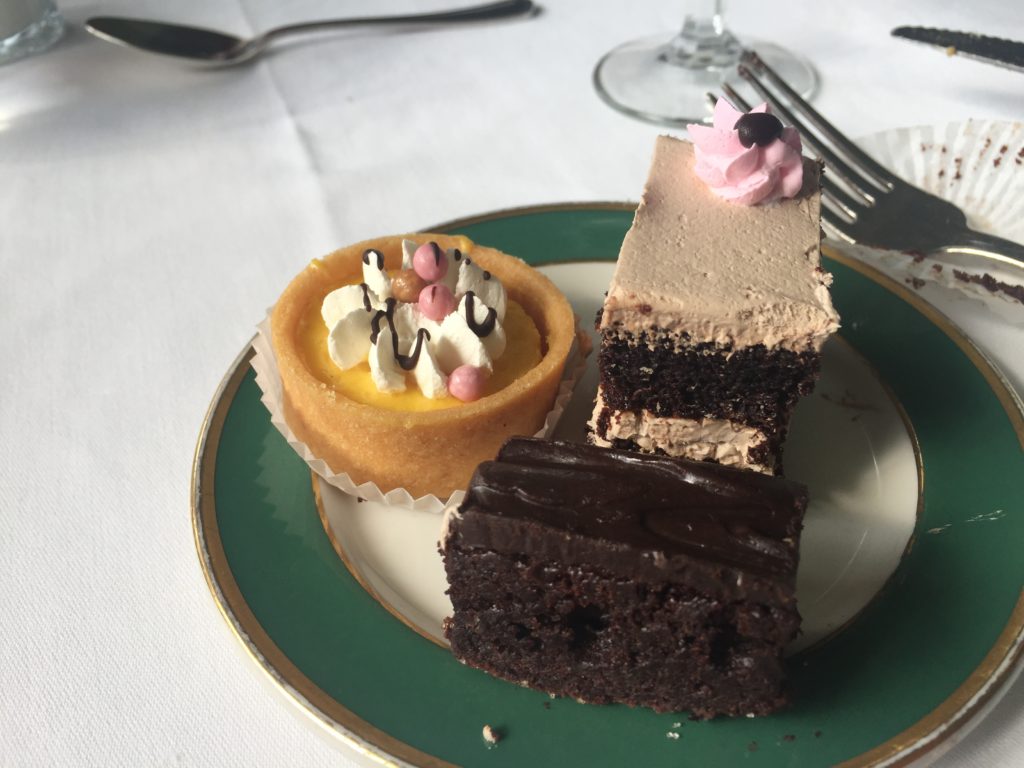
The hotel opened in 1887. Its porch, the longest in the world, was added in the 1890s. In 1957, it was selected as a state historical building. It became a National Historic Landmark in 1989. It’s a beautiful hotel and we had a lovely lunch. The buffet tables seemed unending. And then there was dessert!!